Best Hikes near San Diego for 2026
From sandstone bluffs over the Pacific to desert canyons an hour and change east, a local's field guide to the trails San Diegans actually return to.
At about 6:40 on a clear morning, the parking lot below Cowles Mountain is already half full, and nobody is talking much. Headlamps are clicking off and a guy in a Padres cap is retying a shoe, while the whole line of people climbs toward a summit that will not hold a view of anything until the marine layer burns off. That is a normal weekday here. The best hikes near San Diego are not a weekend project for most locals. They are the thing you do before work, the way other cities do coffee.
This guide is built for people who want to pick a trail and go. It runs from the coast, where sandstone cliffs drop to surf, through the inland granite and chaparral, then out to the desert floor. Some of these walks are an easy hour. A few will empty your legs by noon. Every one of them is a real, named place that locals use, and each comes with the sort of advice you usually only get from a friend who has done it badly first.
How to Think About the Best Hikes Near San Diego
San Diego County is far more varied than the postcard suggests. Within a single morning's drive you can stand on a coastal bluff and climb a granite summit with oak woodland below you, then drop into a desert canyon with palms. The region works best if you sort trails by what you want from the day rather than by distance on a map. So this guide is organized by landscape: coast first, then the city's own hills, with the inland mountains and waterfalls after that and the desert last.
One habit will improve every outing. Start early. In summer the sun on exposed trails here is no joke, and in spring the popular summits fill by mid-morning. A sunrise or early start solves parking and crowds in one move, and it beats the heat too. Everything below assumes you will check current conditions and any closures before you leave, because fire and flood reshape trails and the weather changes them as well.
Coastal Hikes: Cliffs and Lagoons in Ocean Light
Torrey Pines State Natural Reserve
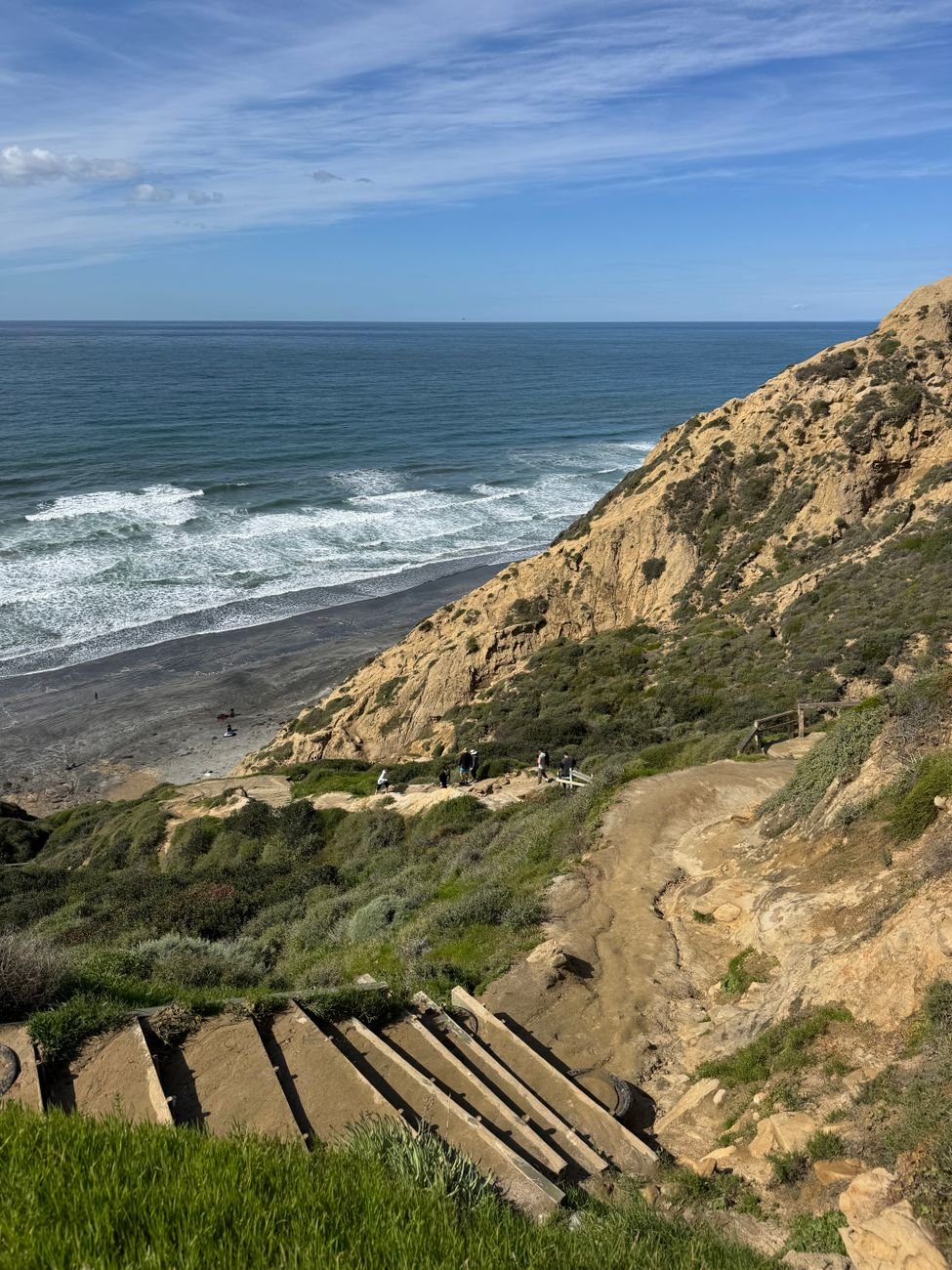
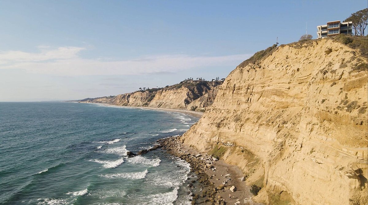
If one place explains why people stay in San Diego, Torrey Pines is a strong candidate. The reserve sits on the bluffs between La Jolla and Del Mar and protects the rarest pine in the country, the Torrey pine, which grows wild here and in only one other place on Earth. The trails wind through twisted pines and sandstone gullies and spill out onto overlooks where the Pacific is suddenly right there, hundreds of feet below. Beach Trail drops all the way to the sand, which means the tide matters, so look at the tide chart before you commit to the walk back along the shore.
Locals tend to pick a loop that mixes a headland view with a descent to the beach, then climb back up the bluff for the burn. Wildflowers show up in spring after a wet winter, and whale season brings a few lucky sightings from the overlooks. The insider tip is the parking: the lot inside the reserve costs money and fills early, while the roadside along the highway below has traditionally been the free option for people willing to walk uphill first. Check the current rules on the state parks site before you go. Dogs are not allowed on the trails, so leave the pup home.

Annie's Canyon Trail
Annie's Canyon is a short walk in the San Elijo Lagoon Ecological Reserve in Solana Beach, and it is the closest thing in the county to a playground for adults. A narrow slot canyon of pale, wind-carved sandstone rises on either side of you, and the route includes a few steep sections where you pull yourself up with your hands, with a metal ladder and rungs to help. Kids love it. Adults who thought they were out for a stroll end up grinning at the first squeeze.
The payoff at the top is a broad look back over the lagoon and the coast. Because the canyon walls are so tight, the experience is one-way in places, and the narrow passages can bottleneck on busy mornings. Go early on a weekday if you want it to yourself. Bring shoes with grip, and skip it after rain, since wet sandstone is slick and fragile. The trailhead is reached from the lagoon area near the Rios Avenue side, and parking in that neighborhood is limited, so plan on a short walk in.
Sunset Cliffs Natural Park
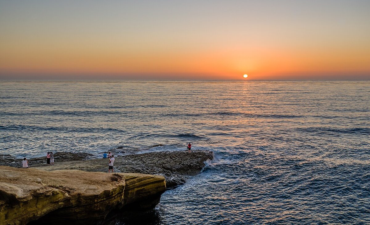
Sunset Cliffs is where a surfer in Ocean Beach learns to read the horizon, and it is the most honest coastal walk in town. The park runs along the bluffs on the western edge of the Point Loma peninsula, and a path follows the edge with side trails that duck down toward small coves and tide pools. The sandstone is soft and the cliffs are genuinely unstable, so stay well back from the edge and never climb the bluffs. People get hurt here every year, and the warnings are not decorative.
What you get in return is a long stretch of open ocean and the best free sunset in the city. The hike is flat and easy, which makes it more of a slow wander than a workout, and it pairs well with a burrito or a beer afterward in Ocean Beach. Parking along Sunset Cliffs Boulevard is free but competitive near sundown, so arrive well ahead of the light. Low tide opens up the tide pools and the rocky shelves below the bluffs, though you should only go down in the spots where established trails lead.

Cabrillo National Monument and the Bayside Trail
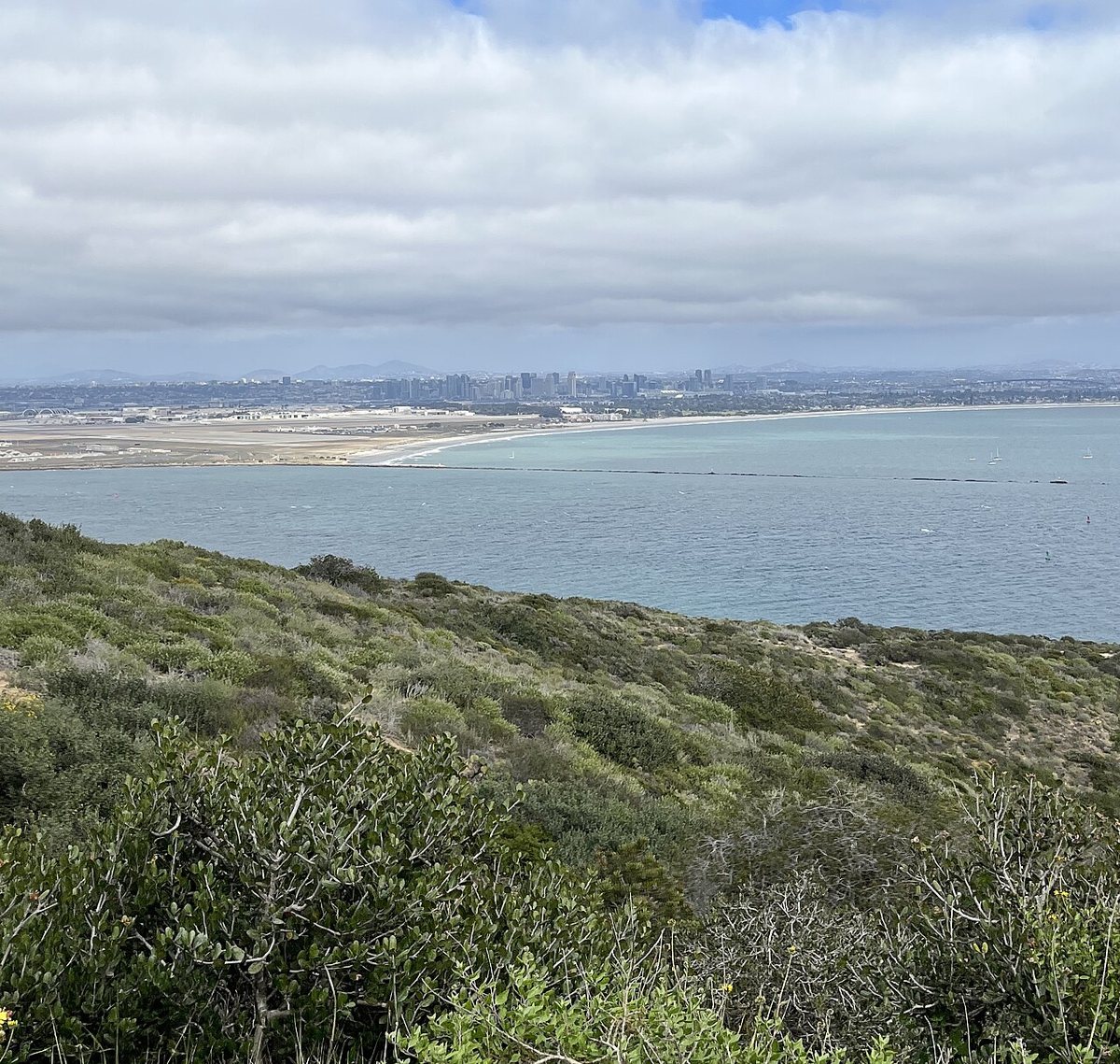
Out at the tip of Point Loma, Cabrillo National Monument remembers the 1542 landing of Juan Rodriguez Cabrillo, and it holds one of the best city views anywhere. The Bayside Trail runs along the bay side of the peninsula, a former military road that now carries hikers through coastal sage scrub with the harbor and the downtown skyline in view and Coronado laid out across the water. Planes drift down toward Lindbergh Field, and ships slide by the Navy base on North Island. The border mountains sit faint and blue on the southern horizon, a reminder of how close Mexico really is.
The walk is gentle and mostly downhill on the way out, so remember you owe the climb back. A visit here also pairs nicely with the tide pools on the ocean side of the monument, which open at low tide, and the old Point Loma lighthouse. The monument charges an entrance fee through the National Park Service, and annual park passes are accepted, so check the current rules online. Go earlier in the day for softer light and less traffic on the road in.

City Peaks and Canyons: Hikes Inside San Diego
You can find a proper summit without leaving city limits. The trails in this section are also the ones locals use for midweek workouts, which gives them a particular energy: part exercise class, part neighborhood block party. If you want a solid climb with a view and a short drive, start here. Anyone planning a gentler outing that is less about sweat can also look at a good city park in the same area.
a good city parkCowles Mountain at Mission Trails Regional Park
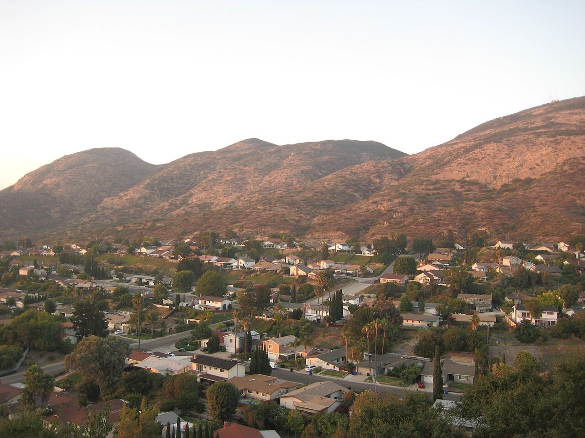
Cowles Mountain is the highest point inside the city of San Diego, and the ridge it sits on belongs to Mission Trails Regional Park. The main trail climbs from the Navajo neighborhood side with a steady, steep pull, then finishes on a summit with a wide, unobstructed look at the city and the bay, then Mission Valley, and on a sharp day, the ocean and the mountains. It is short but stiff, which is exactly why it draws a crowd at sunrise and sunset.
Expect company. This is a social trail, with regulars who recognize each other by the third lap. For quiet, try the other approach to the summit from the Mission Trails visitor side, which is longer and calmer. The insider tip is the heat: the south-facing climb bakes in summer afternoons, so go at first light or in the late afternoon. Street spots in the neighborhood near the trailhead are usually free, and a small lot at the base fills quickly.

Los Penasquitos Canyon Preserve
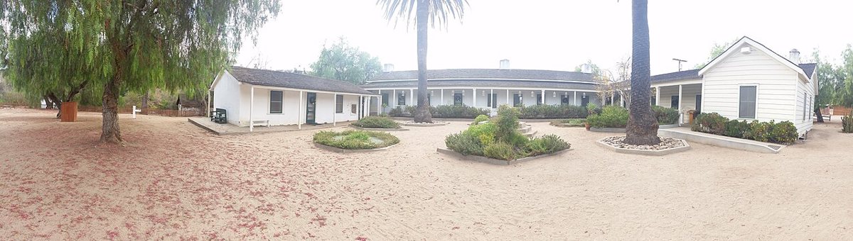
Los Penasquitos Canyon Preserve is the answer when you want shade and a flat, forgiving walk. A broad trail follows a creek through a canyon in the north of the city, running between oaks and sycamores, with a small waterfall in wet seasons and the remains of the old Rancho Santa Maria de los Penasquitos adobe along the way. The preserve is popular with runners and cyclists, plus plenty of families, so the main trail can get busy on weekends.
The creek makes this a good one after winter rain, when the canyon turns green and the water runs clear. In summer the same trail is exposed in stretches, and you will want a hat. Several trailheads serve the preserve, and the entrance off Black Mountain Road tends to be the easiest to find. You can generally park for free. Dogs on leash are allowed, which makes this one of the more dog-friendly options on the list. For a longer day, the side trails climb into the chaparral and open up views over the surrounding mesas.

Inland Mountains: Granite and Pines, Plus Weekend Crowds
Iron Mountain in Poway
Iron Mountain is the hike San Diegans send out-of-town friends on when they want to prove the county has real elevation. The trail climbs from a trailhead off Poway Road through chaparral and granite boulders, on a wide, mostly open path with little shade, to a summit crowned with a small cluster of antennas and a sweeping panorama. On a clear day you can see the coast, the islands off Baja, and inland ridges rolling toward the desert. The distance is moderate, around six miles round trip, but the exposure makes it feel longer.
Go early or late. The sun pounds the trail from mid-morning, and the summer afternoon crowd is mostly people regretting their water supply. Weekends fill the small lot near the trailhead, so arrive before the sun gets high or park where signage allows. Locals like Iron Mountain for sunset, when the whole valley turns copper, but carry a headlamp if you plan to stay for the glow, since the descent happens in the dusk.
Potato Chip Rock and Mount Woodson
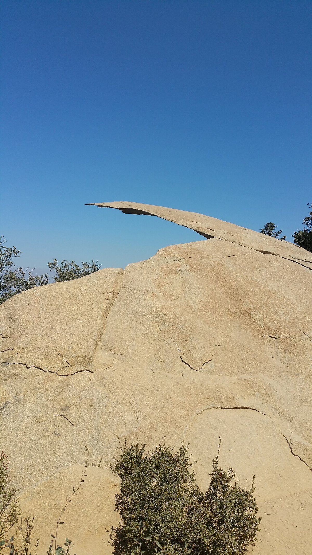
Potato Chip Rock is the most photographed rock in the county, and it earns the line at the top. A thin slab of granite juts from the ridge on Mount Woodson, and visitors queue to step out onto it for a photo that looks far more dangerous than it is. The route starts near Lake Poway and climbs steadily on a rocky path through boulders and scrub, a solid half-day effort that asks for more stamina than the photo suggests.
Most people come for the picture and stay for the view down to Lake Poway and the valleys beyond. The honest truth is that the line on a sunny weekend can add an hour to your day, so a weekday morning is the smart play. The lot at the lake area has historically required a fee, and the trail is exposed, so carry more water than seems reasonable. Keep your feet on the slab and hold a friend's hand if you must, but skip the rock entirely if it is wet or windy. The same hill offers quieter routes if the crowd is thick.

Cedar Creek Falls
Cedar Creek Falls is the swimming hole San Diegans dream about in August, a waterfall that plunges into a deep granite pool in the Cleveland National Forest near Ramona. The route descends into the canyon, so the climb back out comes after the swim, when your legs are already tired. For years the trail has required a permit, issued through the national forest, with a cap on daily visitors. Check the current requirements before you drive out, because the permit rules and closures change.
Plan around the water as much as the walk. After a wet winter, the falls roar and the pool is cold and bright. In a dry year, the flow thins to a trickle and the day becomes mostly a hot hike. Cliff jumping here has caused injuries and deaths, and rangers discourage it. The wise move is to swim and rest, then head out before the afternoon heat peaks. A trailhead lot fills early, so arriving at opening time tends to save the day.
Three Sisters Falls
Three Sisters Falls is the more demanding cousin, a stack of waterfalls in the Cleveland National Forest near Julian that rewards effort with a series of cascades and pools in a steep canyon. The trail is rocky and rough, and the descent into the canyon is steep. Coming back out is the real test, so treat this as a serious outing, not a casual stroll.
Timing matters more than anywhere else on this list. The falls run best in the weeks after winter and spring rain, while late summer can leave only a thin flow. Trail conditions change, and closures have happened after storms, so look at current Forest Service updates before you leave. Bring plenty of water and wear shoes with real tread, and tell someone your plan, because cell service in the canyon is unreliable. Weekdays tend to be quieter than the weekends, when the trailhead overflows.
Cuyamaca Rancho State Park
Cuyamaca Rancho State Park is where San Diego goes to remember what a forest looks like. The park sits in the mountains east of the city, near Julian, and its higher country holds oak and pine woodland and meadows, plus the long climb up Cuyamaca Peak, the second-highest summit in the county. The 2003 Cedar Fire burned much of the park, and the regrowth is a living lesson in how the landscape heals. A fire road climbs to the top, and the view reaches across the backcountry toward Mexico and the Salton Sea on a clear day.
Fall is the sweet spot, when the oaks turn gold and the air cools, and snow occasionally dusts the peak in winter. Come prepared for temperatures noticeably lower than the coast, and check the park for any trail closures. There is a day-use fee at many of the lots, so look into a state parks pass if you plan multiple visits. For people who want a calm, shaded walk without the summit push, the lower trails around the lakes and meadows deliver a gentler day. For a larger escape, this is also a natural jumping-off point for a day trip out of town.
a day trip out of town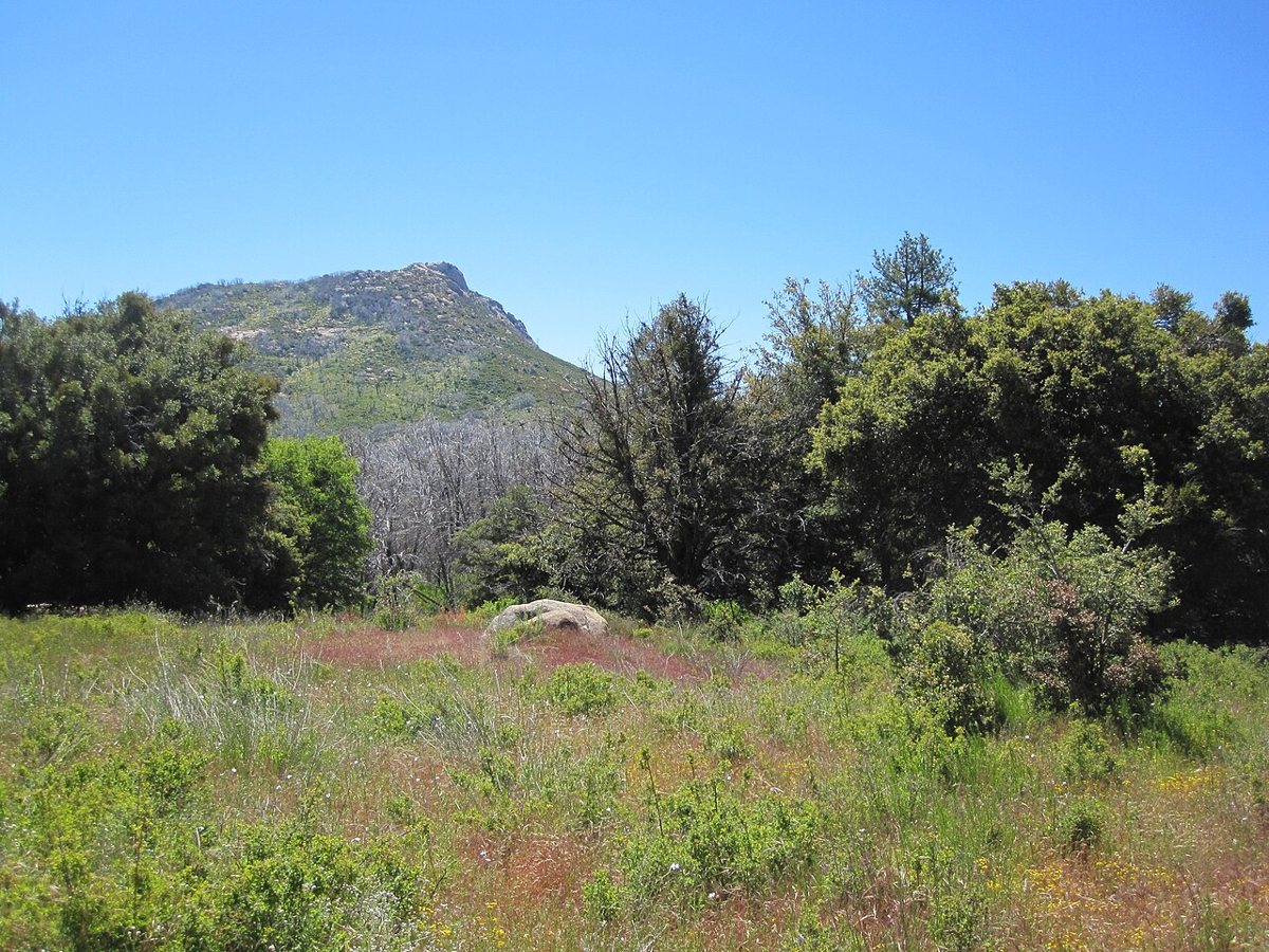

Desert Hikes: Anza-Borrego and the Other San Diego
Anza-Borrego Desert State Park
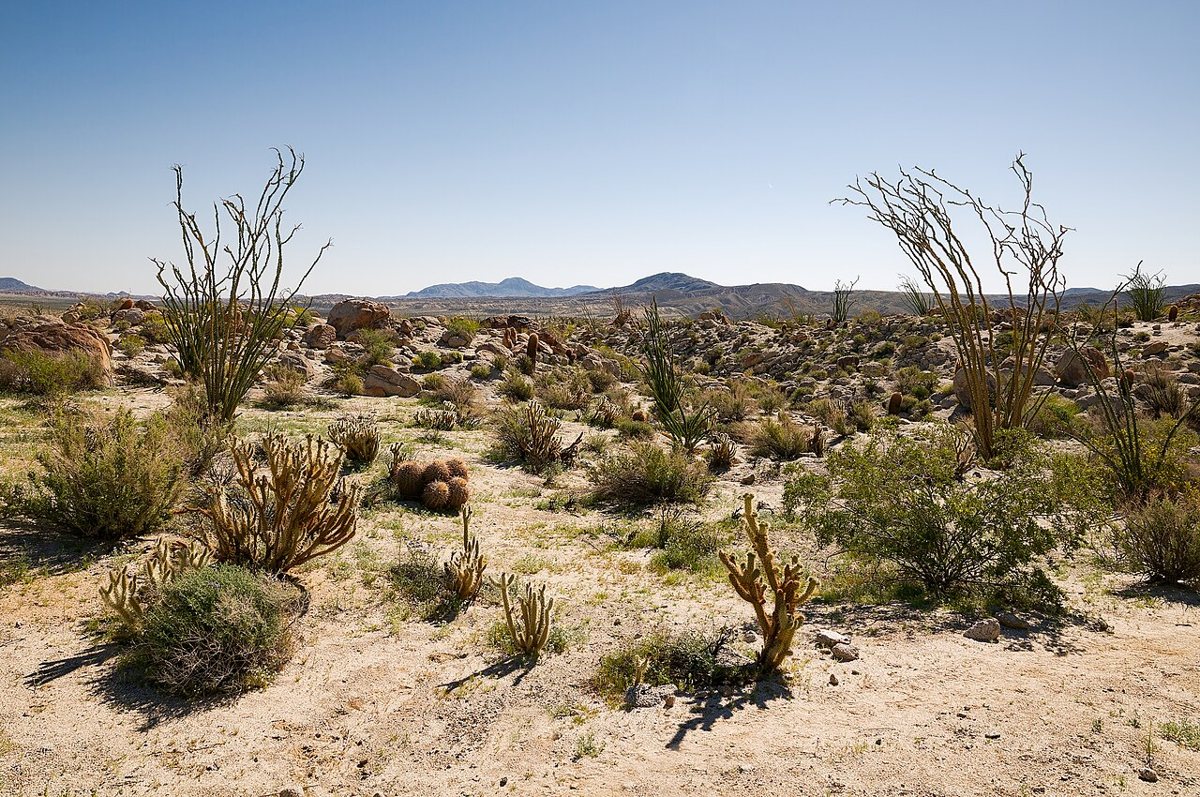
Anza-Borrego Desert State Park is the largest state park in California and one of the strangest rooms in the county. A little over an hour from the coast, the land flattens into badlands and slot canyons, plus fan palm oases, and the sky opens into the kind of dark night that city people forget exists. The Borrego Palm Canyon trail is a classic: a walk up a desert wash to a grove of native California fan palms and a seasonal waterfall, where the temperature drops as you step into the shade.
Timing is everything here. Winter and early spring are the season, when the days are mild and wildflowers can erupt after good rain. Summer is dangerous, with heat that can top the limits of a safe outing, so skip the desert entirely between late spring and early fall unless you are on the trail at dawn. Carry far more water than you think you need and keep to marked paths, and let someone know where you are headed. The visitor center in Borrego Springs is a good first stop for current trail conditions and bloom reports, plus maps.

Getting Around, Timing, and What to Bring
San Diego is a driving city, and almost every trail here needs a car. The freeways do the heavy lifting: the 5 handles the coast and the 8 takes you east toward Cuyamaca and the desert, while the 15 and the 52 knit together the northern and central trails. Rush hour on those roads is real, so plan the drive around it. Leaving at dawn gets you ahead of the traffic and the heat.
- Parking: many trailheads offer free street or lot parking, while some state park and national forest lots charge a fee or require a pass. Policies change, so verify before you go.
- Water: carry more than you expect to drink, especially on exposed trails. A good rule is a liter for each hour of hiking in warm weather.
- Sun: a hat and sunscreen matter even on cooler days, and sunglasses help, since much of the county's chaparral offers no shade.
- Footwear: shoes with real traction help on the granite and sandstone, along with the loose gravel that define many of these routes.
- Conditions: always check closures, fire restrictions, and trail reports on official sites before you leave.
Timing shapes the whole experience. Spring brings green hills and wildflowers, and the inland waterfalls run at their best after the winter rains. Summer belongs to the coast and the early morning. Fall offers the most comfortable hiking, with clear air and fewer crowds. Winter is the desert's season. Weekdays beat weekends nearly everywhere, and a sunrise start beats everything.
On cost, a lot of hiking here is free, from Cowles Mountain and Sunset Cliffs to Los Penasquitos. The places that charge, including state reserves and the national monument, tend to be the ones with the best infrastructure and protection. Think of those fees as a fair trade. Leave no trace and stay on the trail, and pack out what you bring.
The Case for Staying Local
People who move here from Los Angeles or the East Coast often arrive believing San Diego is a place you visit for the beach. Spend a year on these trails and the idea falls apart. The county holds more habitat diversity than most states, with a mountain range an hour from the surf and a desert on the same map as the harbor. Hikers here get a coastal bluff at breakfast and a granite summit by lunch, and no one else in Southern California can quite say that.
My own vote goes to the unglamorous middle of the list. Torrey Pines and Potato Chip Rock get the photographs, but the trails that built my love for this place were the ones I walked on ordinary weekday mornings: the Bayside Trail with the harbor waking up and Cowles in half-light, plus the long edge of Sunset Cliffs after a surf session. Those are the hikes that tell you where you live. Pick one and set an alarm, then take the early start. The city looks better from above, and you will learn more about it in a morning on foot than in a month in the car.