Best Parks in San Diego You Shouldn't Miss
From the eucalyptus canopy of Balboa Park to the wind-cut edge of Sunset Cliffs, a working local's tour of the green spaces that actually explain this city.
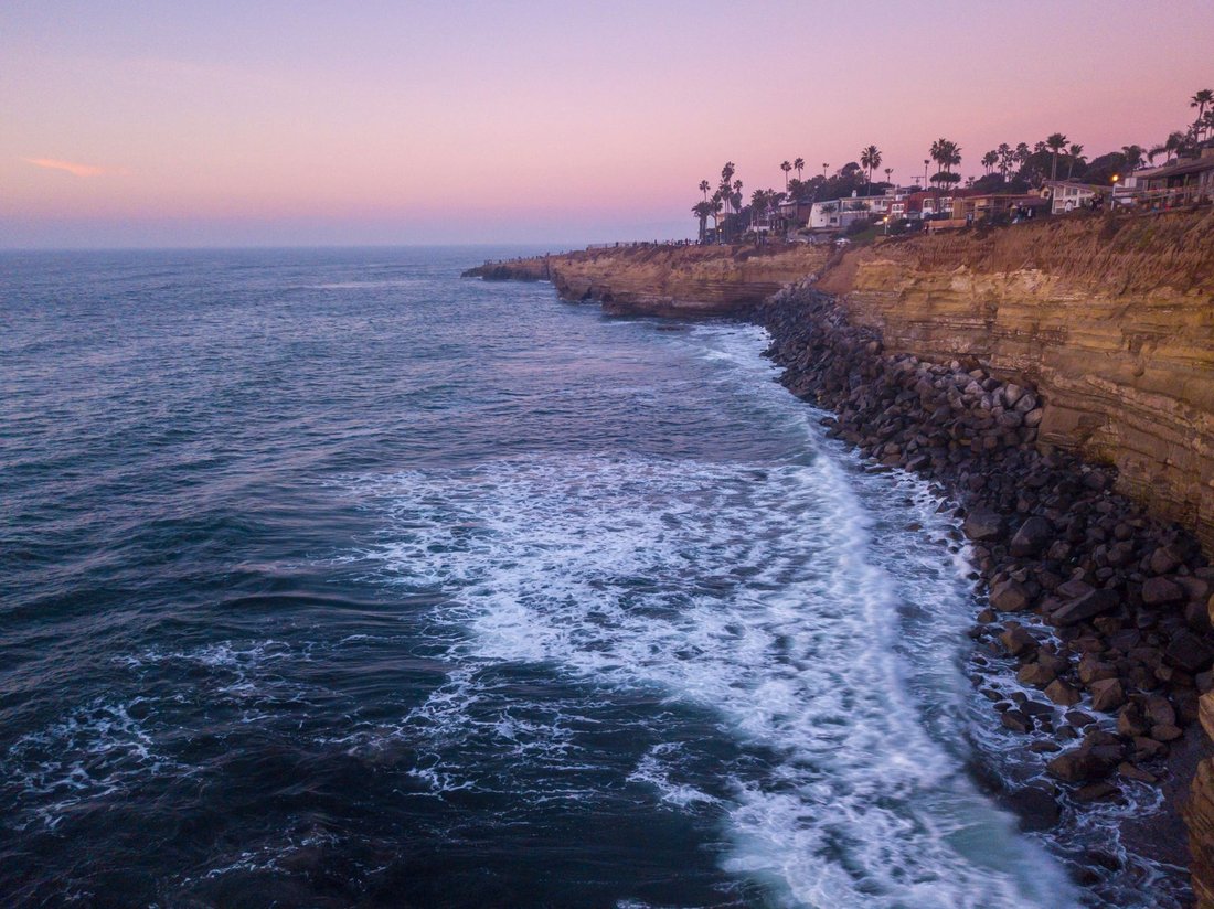
Six-forty on a weekday morning, the parking strip above Sunset Cliffs is already half full. A guy in a wetsuit eats a breakfast burrito, watching the swell. A woman walks her usual loop past the eroded arches, past a spot where someone still leaves flowers for a lost surfer. Pelicans cross low over the water. Nobody is performing for a camera. This is just Tuesday, and that gap between postcard and daily use is the whole story behind any honest list of the best parks in San Diego: this is a city that treats green space as infrastructure, not decoration, and the parks reflect a place with real depth, a serious relationship to the ocean and the border, and neighborhoods that don't agree on much except that their own park is the good one. The rest of the country still pictures a beach town with a Navy base attached. Spend a season working through these parks and that picture stops holding up fast.
What follows is a working list, organized by what these places actually are rather than a countdown. Some are wild land that happens to sit inside city limits. Some are engineered civic spaces built for a World's Fair. One is a mural-covered monument to a fight the neighborhood won. Together they're a fair answer to anyone asking about the best parks in San Diego and expecting more than a beach chair and a hashtag.
The Best Parks in San Diego Start at Balboa Park
Balboa Park
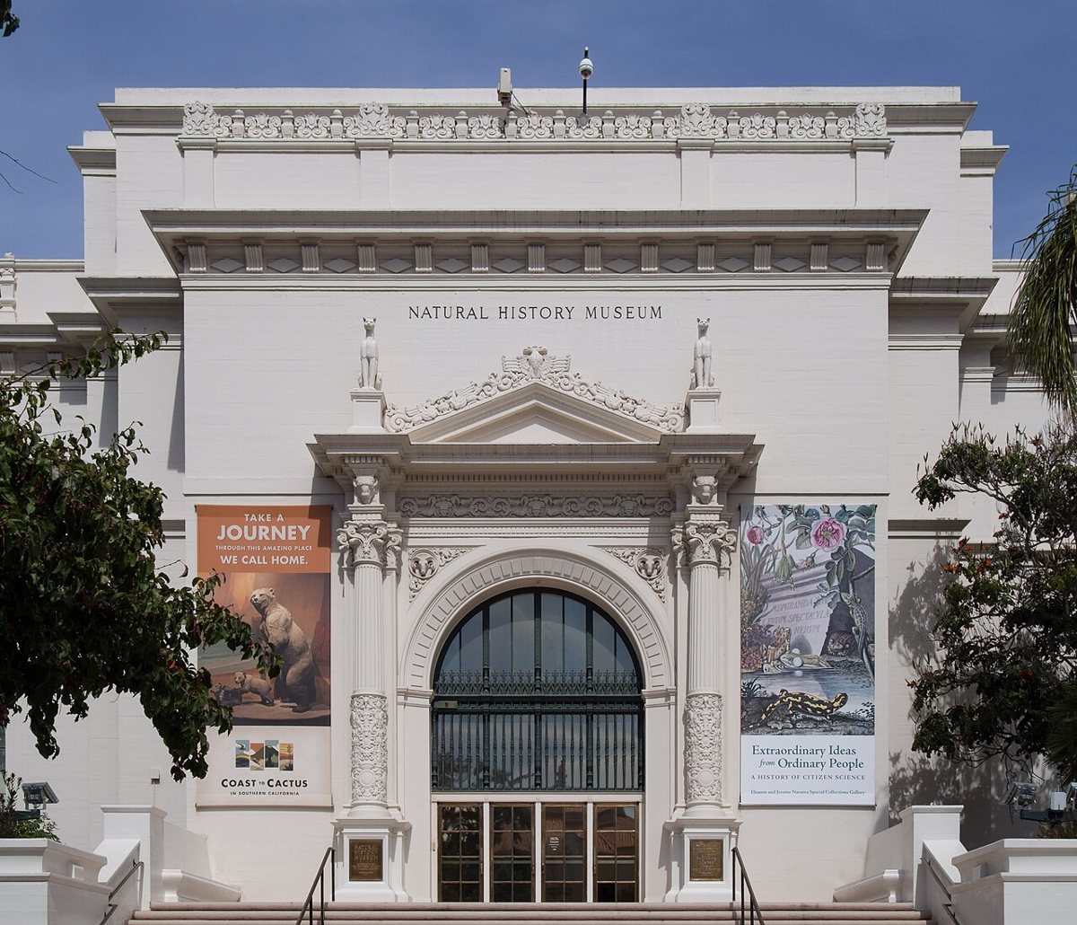
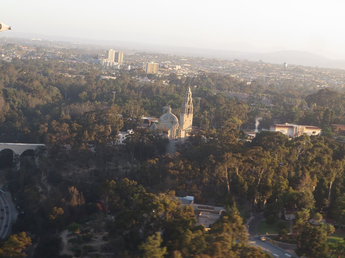
Balboa Park is the one visitors have usually heard of, and it still manages to surprise people who think they know it. It's not one park so much as a cluster of institutions strung along canyons and mesas: the museums along El Prado, the Spanish Colonial Revival architecture left over from the 1915 Panama-California Exposition, the San Diego Zoo tucked into its northern end, and, underneath and around all of it, actual wilderness in the canyons that most tourists never enter. Locals use it for entirely different reasons than the itinerary suggests. There's a free organ concert most Sunday afternoons at the outdoor pavilion, a decades-old tradition that draws retirees, students, and toddlers to the same lawn. The Japanese Friendship Garden and the botanical building are quiet counterpoints to the museum crowds. Cabrillo Bridge, the cantilevered span that carries traffic over Highway 163, is worth walking across just for the view down into the freeway canyon, a strange bit of civic engineering most cities don't have the nerve to leave so exposed.

The Waterfront and the Bay
San Diego's harbor and its adjacent bay do most of the heavy lifting for anyone who wants water without waves, and the parks built along both edges are as much about civic history as recreation. This stretch runs from the reshaped bayfront of Mission Bay down through the working harbor downtown, and it shows a city that decided decades ago to keep its waterfront public rather than hand it over entirely to development.
Mission Bay Park
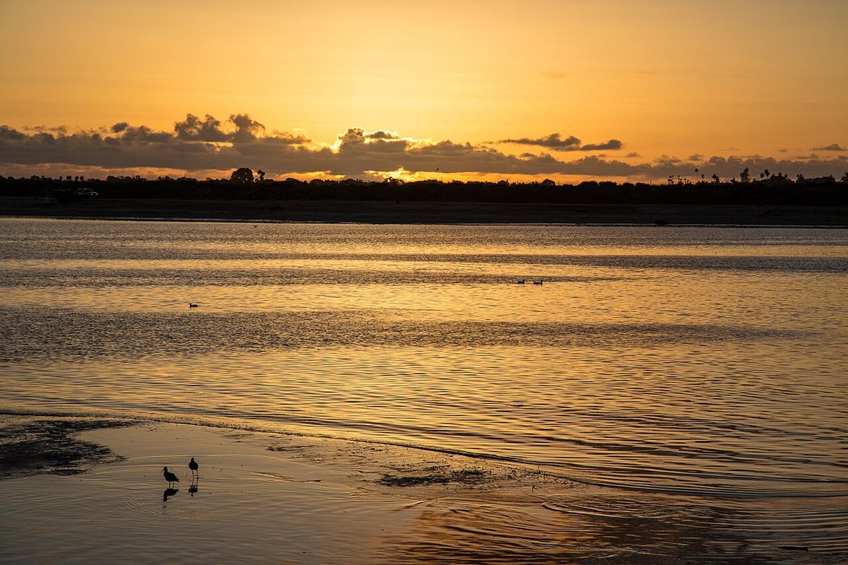
Mission Bay Park is the largest man-made aquatic park in the country, and that engineering history is worth knowing because it explains why the place feels so unlike a natural bay. Dredged and reshaped from tidal marshland starting in the mid-twentieth century, it now covers thousands of acres of water, beaches, grass, and bike paths ringing the shoreline. Families claim picnic tables at Ski Beach early on weekend mornings. Rowers and paddleboarders work the calm water before the wind picks up. The paved perimeter path is one of the few places in the city where you can ride a bike for miles without touching a street, past Fiesta Island, past the model railroad club, past coves where kids learn to sail in prams barely bigger than a bathtub. It's the least dramatic of San Diego's big parks and also the most heavily used, which tells you something about what people here actually want from a park on a Saturday.

Waterfront Park
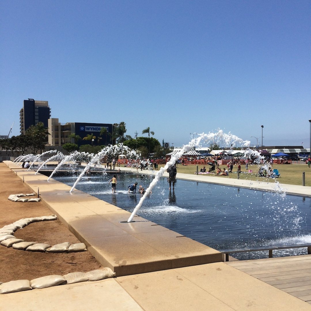
Waterfront Park sits directly in front of the County Administration Building downtown, a strip of interactive fountains, lawn, and palm-lined walkways squeezed between the county offices and the harbor. It's a newer addition to the city's park inventory, built to reconnect downtown to the water after decades of parking lots and rail yards occupied the same ground. Kids run through the fountain jets in summer while office workers eat lunch on the grass a few feet away, and the sightline straight out to the bay, framed by the Coronado Bridge in the distance, is one of the better free views downtown offers. On weekend evenings it turns into an impromptu gathering spot for anyone walking the Embarcadero, which makes it a useful hinge between the more formal Balboa Park experience and the working harbor further south.

Embarcadero Marina Park
South of the convention center, Embarcadero Marina Park North and South occupy a spit of reclaimed land jutting into the bay, with the USS Midway Museum anchored just up the shoreline and cruise ships occasionally docked within sight. This is where the harbor stops being scenery and starts being a working park: fishing off the seawall, kite flying on open grass, joggers doing the loop around Seaport Village before it opens for the day. It's compact compared to Mission Bay or Balboa Park, but the proximity to the Midway's flight deck and the container cranes further south makes it one of the few places where you can watch San Diego's military and maritime identity play out in real time rather than read about it on a plaque.
The Coast, South to North
Move past the bay and the coastline itself takes over, and this stretch is where the case for San Diego's parks gets made hardest. Fifty-some miles of shoreline run from the Mexican border up past La Jolla, and along the way the city and state have protected the parts worth protecting rather than letting every inch get paved into a boardwalk. What follows is that run, roughly south to north, cliff to reserve to neighborhood overlook.
Sunset Cliffs Natural Park
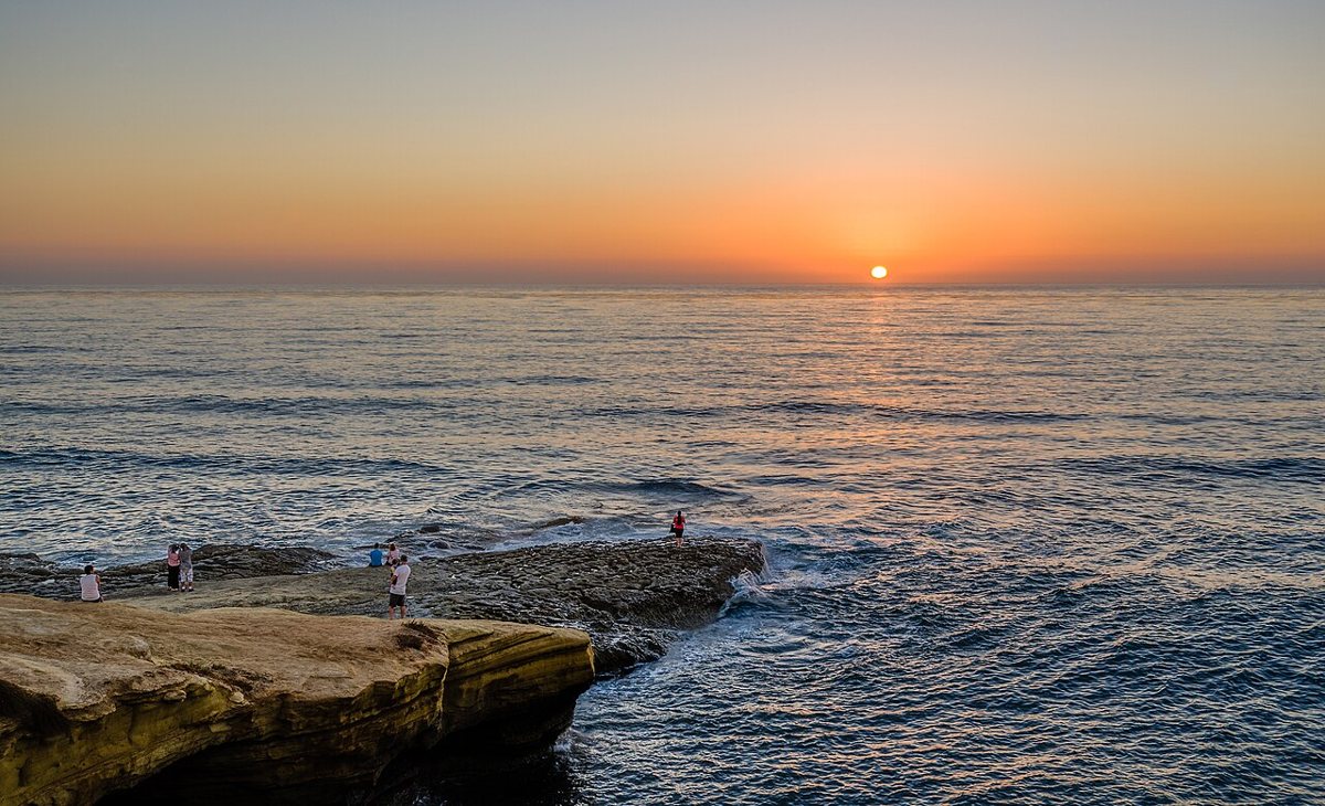
Sunset Cliffs Natural Park runs along the western edge of Point Loma, a narrow band of protected coastal bluff where the sandstone has been carved by wave action into arches, sea caves, and tide pools that shift after every big winter swell. There's no beach to speak of along most of it, just cliff and ocean and a dirt path that locals treat as sacred. Surfers use the informal breaks below as a proving ground. Tide pool visits at low tide reveal anemones, hermit crabs, and the occasional octopus if you're patient and quiet. The sunsets here have a genuine reputation, not an inflated one, and on a clear evening the parking areas fill with people who drove specifically to watch the sun drop into the Pacific, no agenda beyond that. The erosion is real and ongoing, so fenced-off sections should be respected rather than treated as a suggestion.

Cabrillo National Monument
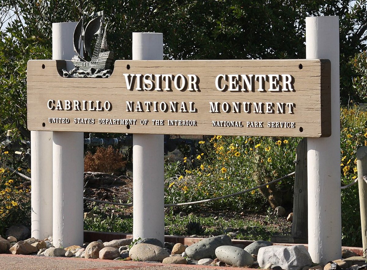
At the southern tip of Point Loma, Cabrillo National Monument marks the spot where Juan Rodríguez Cabrillo made landfall in 1542, the first documented European contact with what's now the West Coast of the United States. The statue and visitor center get the attention, but the real draw for most locals is the tide pool area at the bottom of the point and the old lighthouse still standing near the bluff. On clear winter days the overlook doubles as a whale-watching spot, with gray whales visible from shore during their migration south. The view north takes in the entire curve of the city, downtown, the bay, Coronado, and on the clearest days the mountains beyond, which makes this one of the only spots in San Diego where the whole geography of the place clicks into place at once.

Ellen Browning Scripps Park
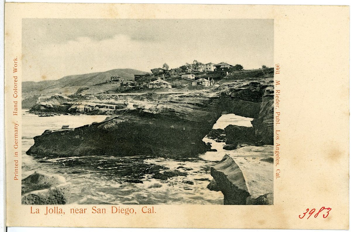
In La Jolla, Ellen Browning Scripps Park runs along the bluff above La Jolla Cove, a stretch of manicured lawn under Torrey pines that ends abruptly at a rocky drop to the water. It's a small park by acreage but an outsized one by use: wedding parties competing for the same photo spots, snorkelers gearing up before climbing down to the cove, and, most days, a colony of sea lions hauled out on the rocks below making themselves loudly known. The cove itself is one of the better spots on the coast for spotting leopard sharks in the shallows during warmer months, and the park's edge is where most people stand to look for them. It's also simply a good lawn for sitting, which in a neighborhood this expensive counts as public generosity.

Torrey Pines State Natural Reserve
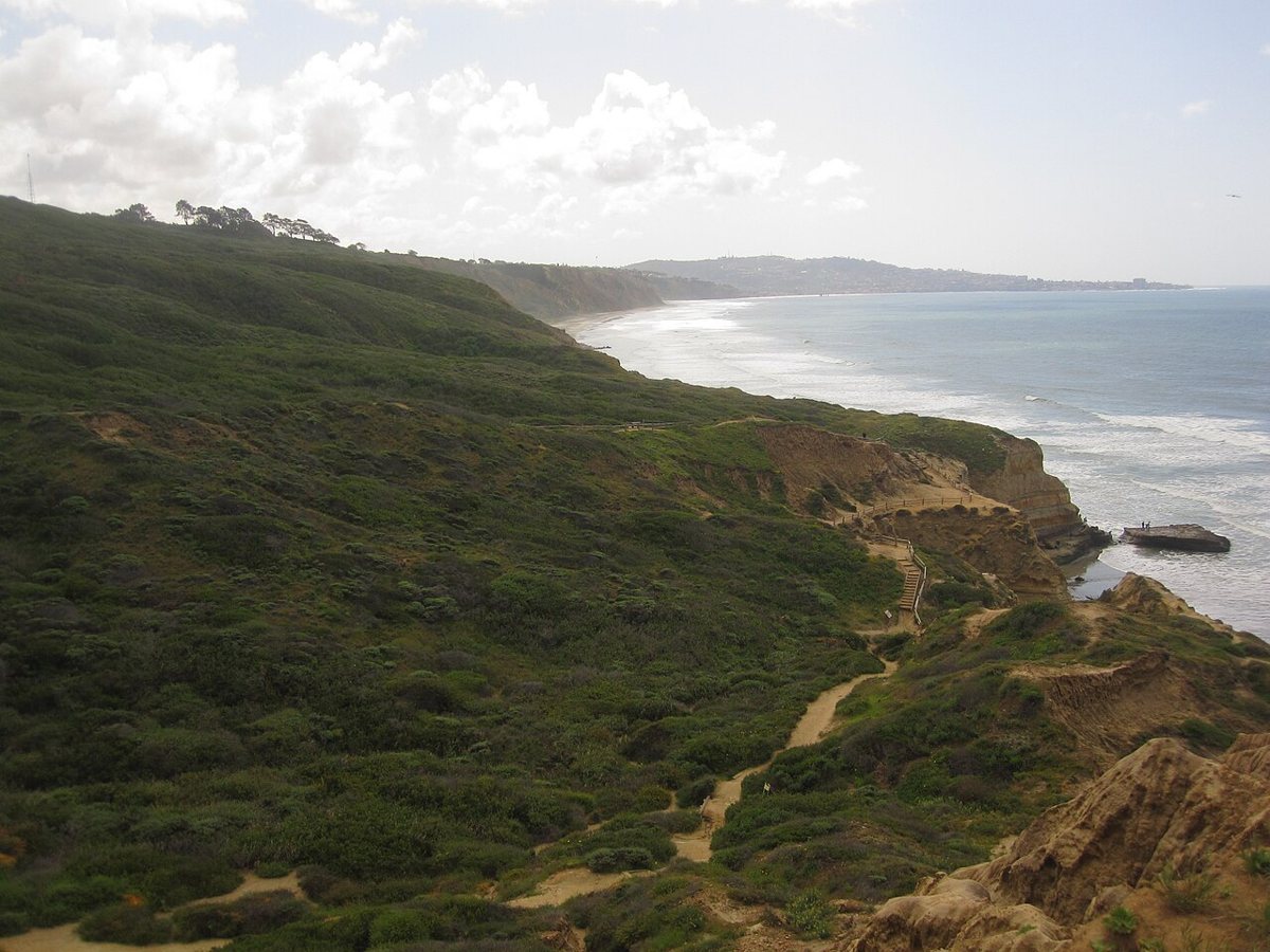
Torrey Pines State Natural Reserve protects one of the rarest pine species in North America, a tree that grows natively in only two places on earth, and this sandstone reserve above the ocean is one of them. The trails wind through badland-style formations and switchback down to a beach that stretches toward Del Mar, with the twisted, wind-bent pines providing the only shade along most routes. It's steep enough in places to feel like real hiking rather than a stroll, and the combination of coastal bluff, chaparral, and beach access in one protected space is unusual even by California standards. Hang gliders launch from the cliffs just north at the Torrey Pines Gliderport, and on a good afternoon you can watch them ride the same updrafts that keep the reserve's raptors aloft over the canyons.

Kate Sessions Park
Kate Sessions Park sits above Pacific Beach on a hillside named for the horticulturist credited with much of the planting in Balboa Park and across the city. The park itself is understated, mostly open grass and a scattering of trees, but the view from its ridge takes in Mission Bay, the ocean, and on clear days the coastline curving north toward La Jolla. It's a neighborhood park in the best sense, used for dog walking, kite flying, and picnics rather than tourism, and the sunset crowd here is smaller and more local than the one at Sunset Cliffs. Naming a park after the woman who planted so much of the city's tree canopy is a fitting bit of civic memory, even if most people who spread a blanket on this hill couldn't tell you who she was.

History and Identity
Presidio Park
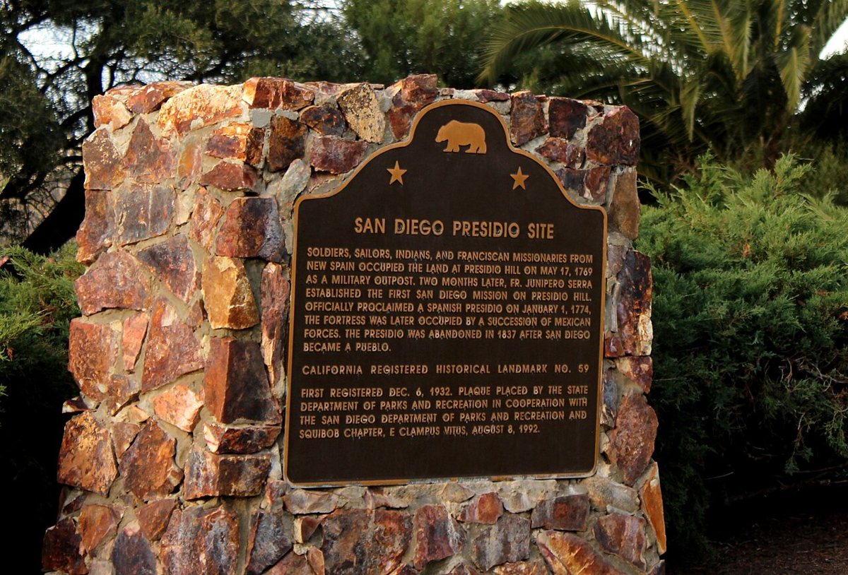
Presidio Park occupies the hill above Old Town where Spanish soldiers built the first European settlement on the California coast in 1769, later the site of the first mission before it moved to a more fertile location up the valley. The Junípero Serra Museum sits at the top now, a Mission Revival building that houses artifacts from the original presidio, and the surrounding hillside has been left largely open, a mix of lawn, palm trees, and dirt trails that locals use for hill-repeat workouts as much as history. It doesn't get the visitor numbers of Balboa Park, which is part of its appeal. Standing at the top looking down over Old Town and the Interstate 8 corridor, it's easy to understand why this site was chosen: high ground, fresh water nearby, a clear view in every direction, the same practical logic that shapes a lot of San Diego's oldest neighborhoods.

Chicano Park
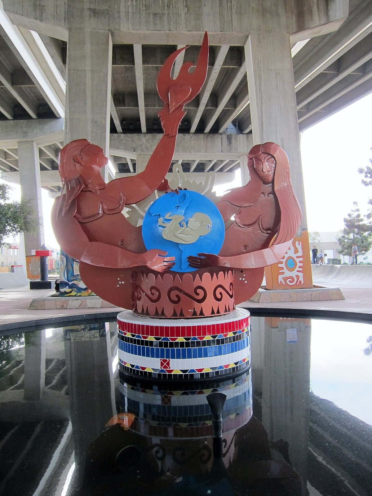
Chicano Park in Barrio Logan exists because a neighborhood refused to accept what was being done to it. In 1970, residents occupied the land under the newly built Coronado Bridge on-ramps, land they had been promised for a park and then saw slated for a highway patrol station instead, and held the site until the city relented. What resulted is now the largest collection of outdoor murals in the country, painted directly onto the massive concrete bridge pylons: Aztec imagery, portraits of labor and civil rights leaders, scenes from Mexican and Chicano history, all of it under the constant hum of freeway traffic overhead. It's a National Historic Landmark now, but it still functions as a working neighborhood park, with basketball courts, a skate plaza, and community events held in the shadow of the murals. Barrio Logan sits close to the border in spirit as much as geography, and Chicano Park is where that binational identity is most visibly, deliberately claimed rather than just implied.

Inland and the Big Wild
Mission Trails Regional Park
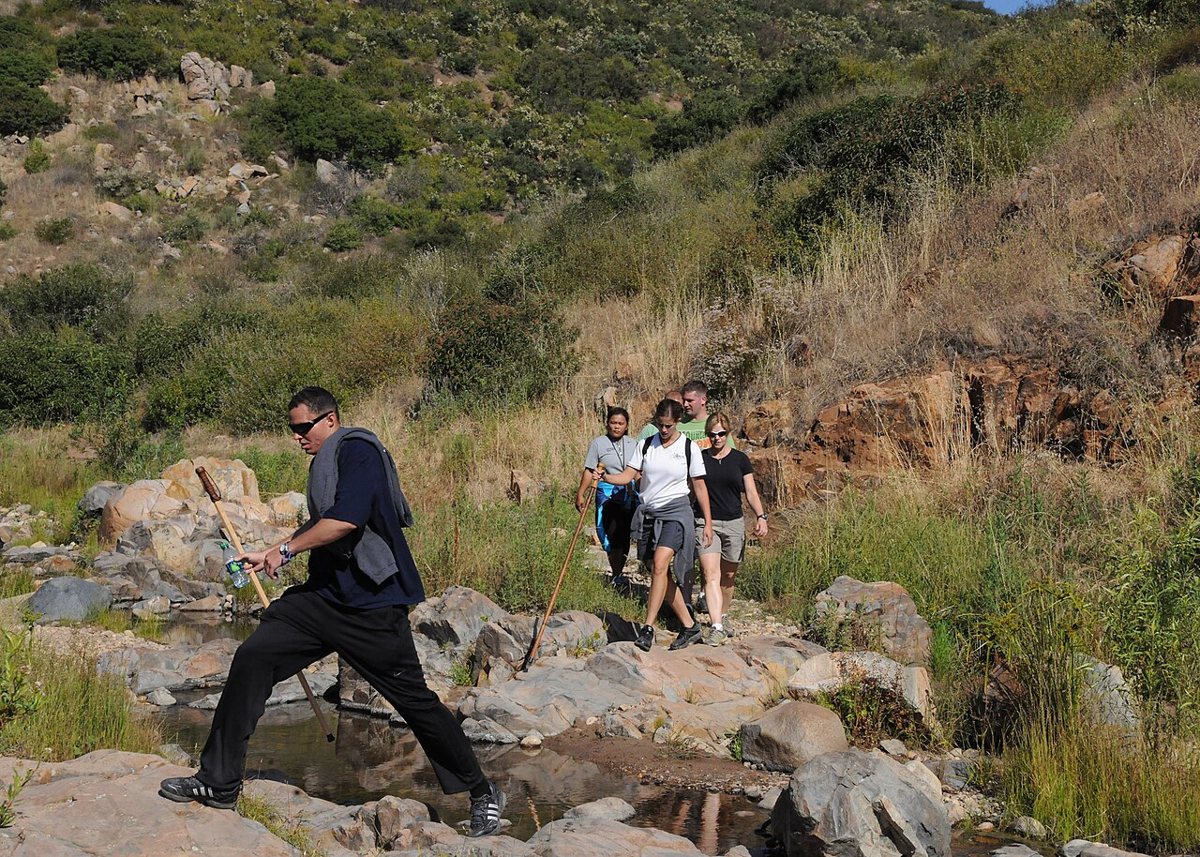
Mission Trails Regional Park is the reminder that San Diego isn't only a coastal city. Covering thousands of acres east of Mission Valley, it's one of the largest urban parks in the country, with more than fifty miles of trails winding through chaparral, oak woodland, and rock formations that feel far more remote than their proximity to freeways and subdivisions would suggest. Cowles Mountain, within the park's boundaries, is the highest point in the city of San Diego and among the most climbed peaks in the country by trail-count estimates, largely because the summit push is short enough to fit before or after work. The San Diego River runs through the park's lower sections, and Old Mission Dam, built by Kumeyaay laborers under Spanish mission supervision in the early 1800s, still stands along one of the river trails as one of the oldest irrigation structures on the West Coast. It's the park locals send visitors to when they're tired of hearing that this city has no real outdoors.

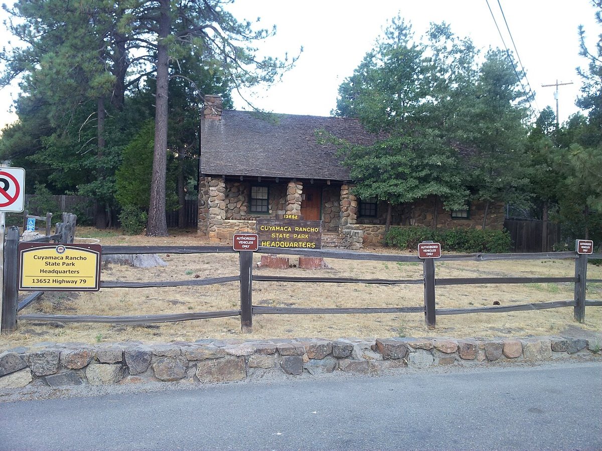
Cuyamaca Rancho State Park
An hour east of downtown, up past El Cajon and into the mountains, Cuyamaca Rancho State Park is a different climate entirely, oak and pine forest at elevation, cool enough for a light jacket even in summer, occasionally cold enough for snow in winter. The park was hit hard by wildfire in 2003 and has spent the decades since regrowing, which means visitors now see a working example of forest recovery alongside the surviving old growth. Stonewall Peak offers a short, steep hike to a granite summit with views back toward the desert and, on clear days, out toward the ocean the park's visitors just left behind. Lake Cuyamaca sits at the park's edge for fishing and quiet paddling. Volcan Mountain and the surrounding Julian countryside sit close enough to fold into the same trip, apple pie included, if a full day in the mountains is on the agenda. For a city defined in most people's minds by its coastline, having a mountain forest this substantial within a reasonable drive is the kind of geographic range that rarely makes the highlight reel.

Know Before You Go
A few practical notes apply across most of these parks. Coastal spots like Sunset Cliffs, Torrey Pines, and Cabrillo National Monument get crowded fastest at sunset and on weekend mornings, so an early arrival buys real solitude even in peak season. Marine layer fog is common along the coast through late spring and early summer, usually burning off by midday, so a coastal park visit scheduled for late morning tends to reward patience. Trail conditions at Mission Trails and Cuyamaca Rancho change with rain, and both can turn muddy or slick after storms, so sturdy shoes matter more than the mild reputation of the local climate suggests. Tide pool areas at Cabrillo National Monument and Sunset Cliffs are governed by the tide chart, not the clock, and the best pooling happens on the lowest tides of the day regardless of hour. Parking fills fastest at the smaller, single-entrance parks, Sunset Cliffs and Kate Sessions Park especially, so a backup plan or a short walk from a side street saves real frustration on weekend afternoons. Dogs are welcome on leash at most of these parks but not inside the tide pool zones or the Torrey Pines reserve trails, where the rules exist to protect ground cover that doesn't recover quickly from foot traffic. If you're pairing a park day with other errands, San Diego's neighborhoods cluster conveniently: the craft beer scene in North Park sits minutes from Balboa Park's northern entrances, and a swing through Barrio Logan for Chicano Park pairs naturally with the taco counters that make this border city what it is.
- Coastal parks are busiest at sunset; arrive early for space and easier parking.
- Marine layer typically clears by midday along the coast in spring and early summer.
- Tide pools follow the tide chart, not a set schedule; check low tide timing before visiting Cabrillo or Sunset Cliffs.
- Inland parks like Mission Trails and Cuyamaca Rancho get muddy after rain; wear real hiking shoes.
- Fenced or roped-off erosion areas at Sunset Cliffs are not optional detours; the ground genuinely gives way.
The Real Argument
People outside San Diego tend to picture one park: a strip of grass near a beach, maybe a volleyball net. The reality is closer to a working record of the region's whole story. A Spanish military hilltop. A neighborhood that occupied land under a freeway and turned it into the largest mural collection in the country. A biological reserve holding one of the rarest trees on the continent. A mountain forest an hour from the surf. None of that fits the sibling-to-Los-Angeles version of this city that keeps getting repeated by people who never got past the boardwalk. The parks here don't apologize for the beach, but they don't stop at it either. Spend a year working through this list, from the cliffs to the mountains, and the case closes itself.